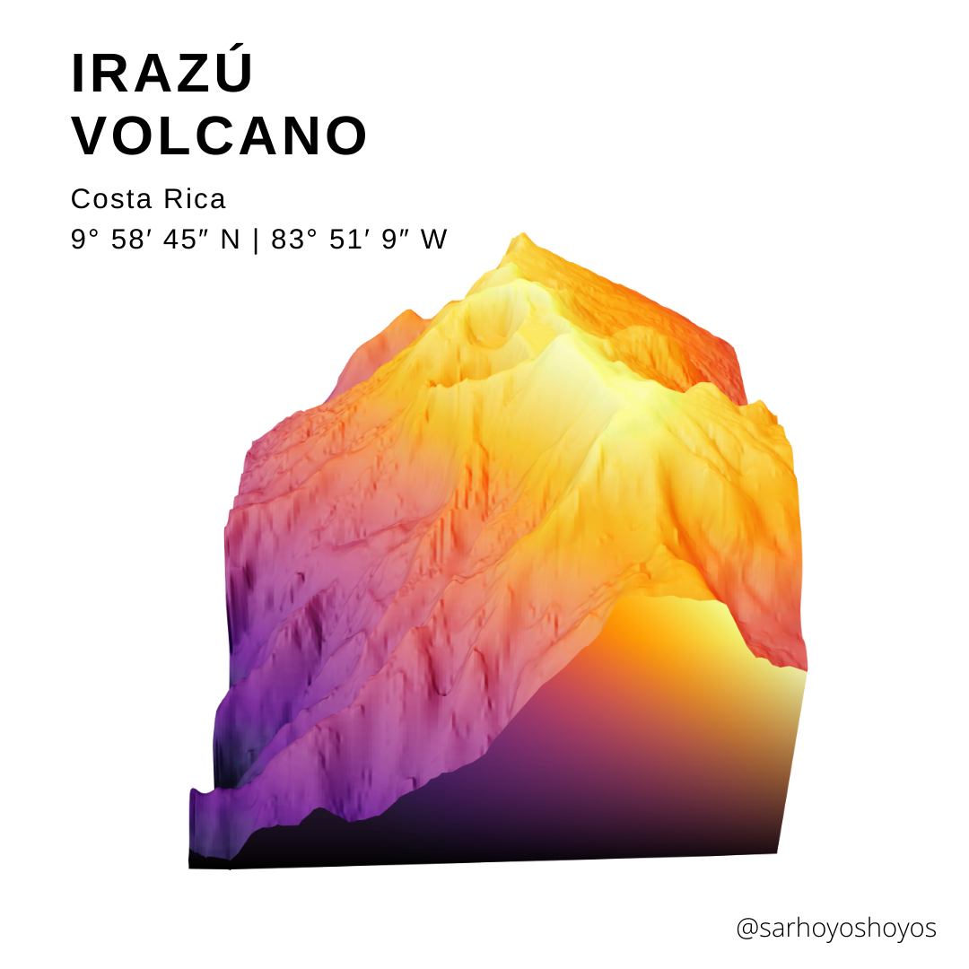
Irazu Volcano
3D render of one of the highest volcano's in Costa Rica
Open source data and tools are great. A plethora of tutorials and resources are a great way to learn.
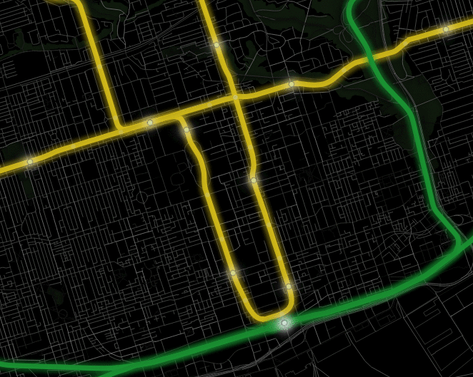
( GIF of Toronto subway stations ->) City of Toronto Open Data .
3D render of one of the highest volcano's in Costa Rica
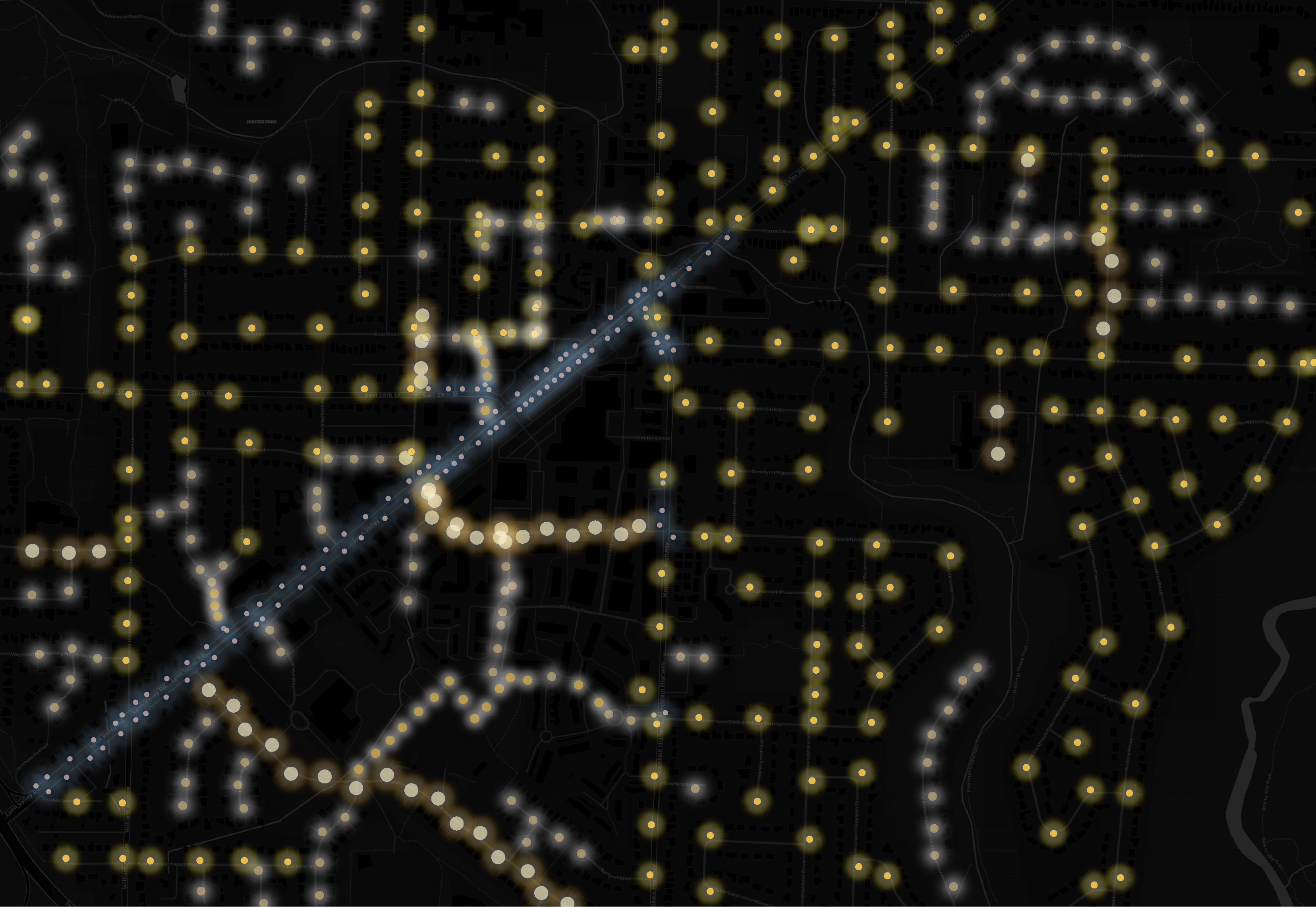
Variety of suburban streets create starry streetlights.
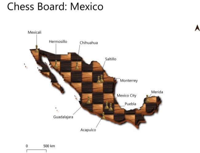
QGIS used to create a chess board of Mexico. Major cities as chess pieces
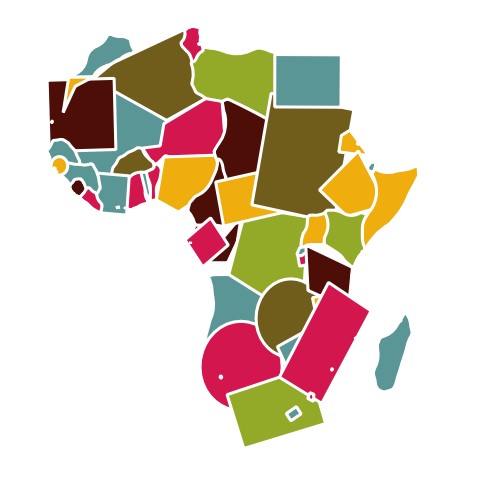
Adaptation of Topi Tjunkanov's geometric QGIS style. Each African country as a randomized shape
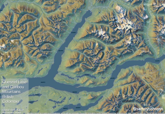
Imhoff style hillshades of British Colombia's mountains
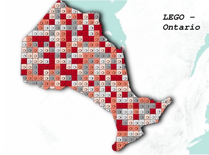
Province of Ontario styled as LEGO pieces.
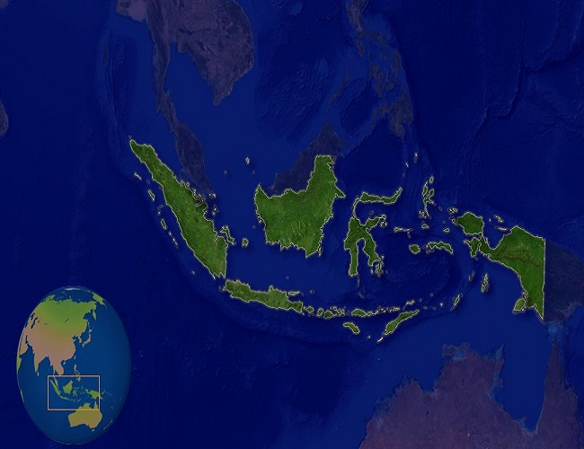
A spotlight on the Indonesian pennisula
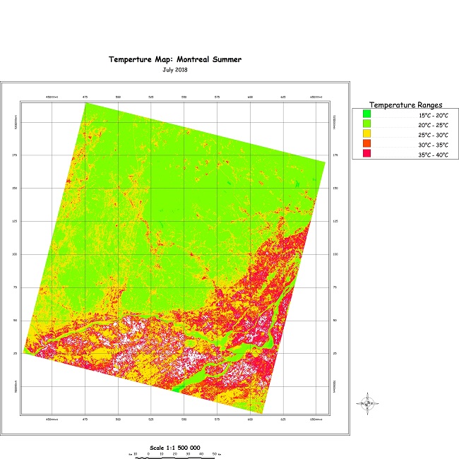
Map depicting the surface temparture differences around the urban city of Montreal
Check the map for locations. Not all waterfalls are open for the public to access. Parks and areas are ownered by various organizations such as the Hamilton Conservation Authority and City of Hamilton.