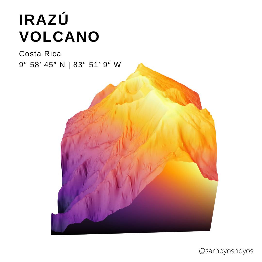
Irazu Volcano
3D render of one of the highest volcano's in Costa Rica
Open source data and tools are great. A plethora of tutorials and resources are a great way to learn.
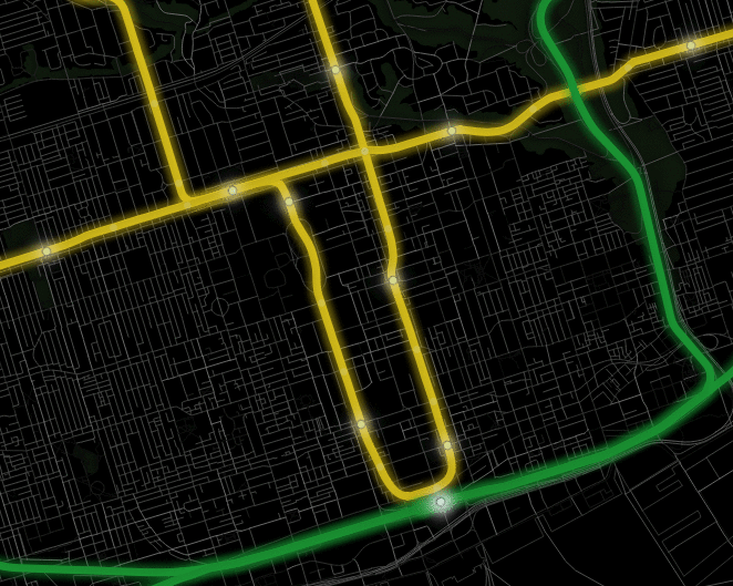
( GIF of Toronto subway stations ->) City of Toronto Open Data .
3D render of one of the highest volcano's in Costa Rica
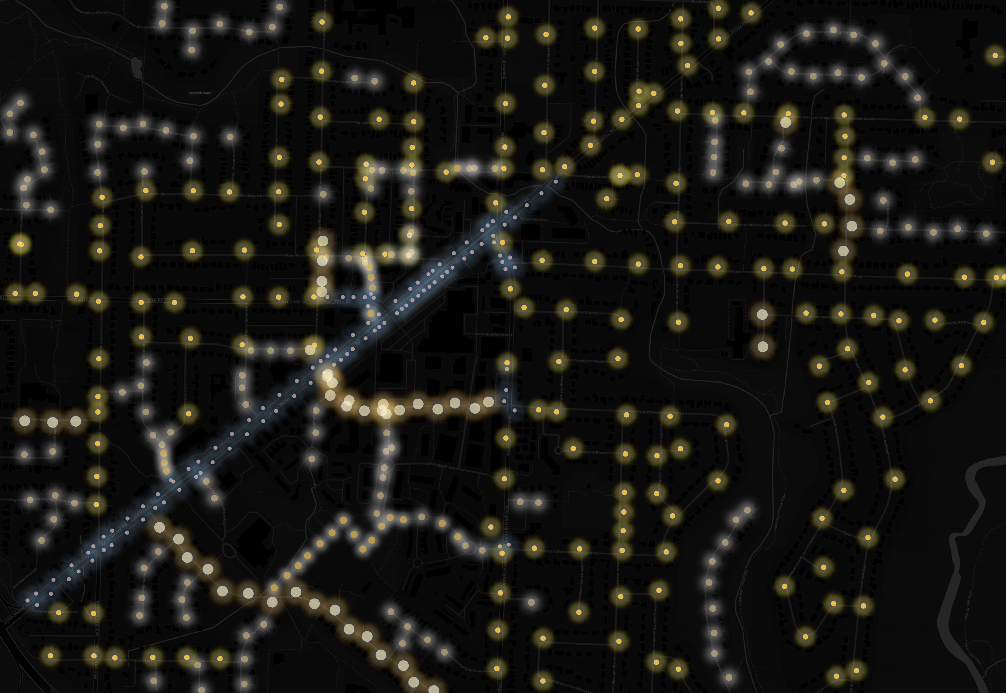
Variety of suburban streets create starry streetlights.
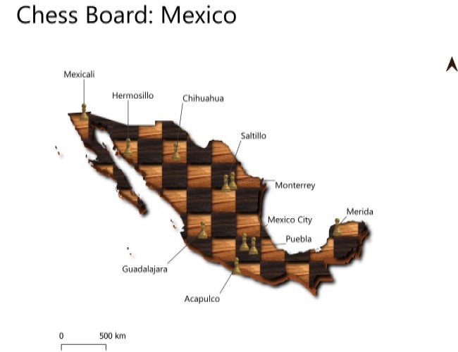
QGIS used to create a chess board of Mexico. Major cities as chess pieces
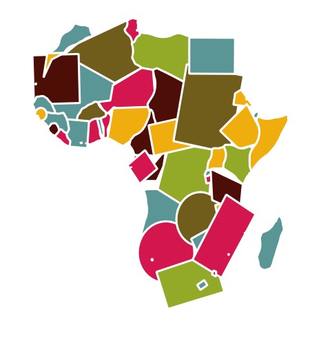
Adaptation of Topi Tjunkanov's geometric QGIS style. Each African country as a randomized shape
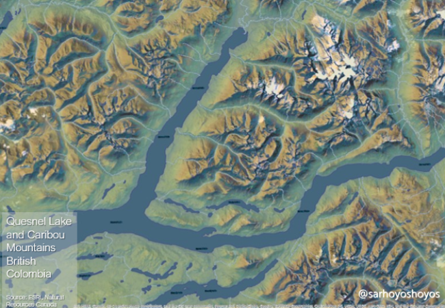
Imhoff style hillshades of British Colombia's mountains
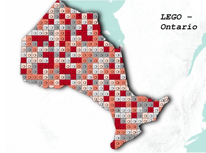
Province of Ontario styled as LEGO pieces.
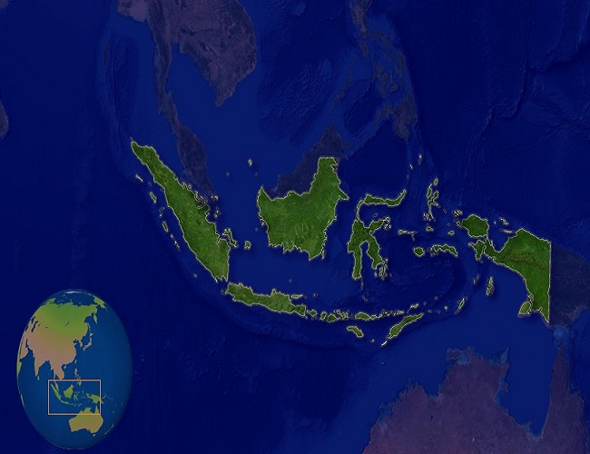
A spotlight on the Indonesian pennisula
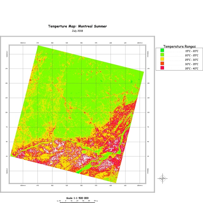
Map depicting the surface temparture differences around the urban city of Montreal